CalWild Merced Wild & Scenic River Corridor Signage & Community Needs Report
Focusing on USFS day use and campground areas along CA 140. Prepared by the California Wilderness Coalition & Exact Change with a grant from River Network in cooperation with the United States Forest Service, April 2022. On the ancestral land of the Southern Sierra Miwuk. More information here to support their federal recognition: www.southernsierramiwuknation.org
INTRODUCTION
The California Wilderness Coalition (CalWild) is a statewide, membership-based nonprofit that protects and restores the state’s wildest natural landscapes and watersheds on public lands. Since 1976, CalWild has worked to protect over 13 million acres of California’s wildest remaining lands and more than 1,500 miles of wild and scenic river segments using legislative, legal, and advocacy strategies.
Flowing west from the Sierra Nevada crest in Yosemite National Park (YNP), the Merced River is perhaps best known for its unique and beautiful setting in Yosemite Valley. In 1987, Congress added parts of the Merced and the South Fork Merced in YNP and the Sierra National Forest (SNF) to the federal Wild and Scenic River system. From its sources in YNP the Merced flows past exceptional scenery and rugged foothill canyons. The river provides a wide variety of recreation in YNP and along the downstream SNF and Bureau of Land Management (BLM) lands. Trails along the lower Merced are particularly popular for their springtime wildflower display and whitewater boating, while the summer and fall months are frequently besieged by algae blooms and wildfires in recent years. The river supports native wild trout, many threatened and endangered species, and the only known populations of the limestone salamander. Because much of the river flows through existing wilderness and roadless areas, it possesses a high degree of biotic integrity.
CAUSE FOR INQUIRY
The popular Merced River corridor alongside CA Route 140 (the corridor) is one of the three year-round gateways to YNP. The segment between Briceburg and Redbud (see map on next page) is managed by the SNF Bass Lake District and in part by the BLM and features some of the area’s most accessible picnicking, swimming, camping, hiking, and boating opportunities. The immense popularity of YNP and the corridor was on full display as the COVID-19 pandemic made YNP reservations a requirement, significantly limiting visitors to one of the state and country’s most beloved landscapes. Anecdotally, stories began to emerge of non-English speakers being turned away at the YNP gate, unaware of the recent changes to the reservation system.
“Reservations Required” from YNP Facebook Page
Well before the pandemic, many users of the corridor were unaware of the proper restrictions or regulations regarding daytime use, campgrounds, trash disposal, available restrooms, and use of campfires/backcountry stoves in the nearby Stanislaus and Sierra National Forests. Historically it is also an area besieged with wildfires dating as far back as records have been kept. More recently the corridor was plagued by algae blooms due to low water flow and high temperatures during the summer and fall months. These are issues that all visitors to the corridor need to be aware of. YNP visitor statistics show that Latinx and Asian community members are the largest demographic users of YNP outside of Caucasians, making Spanish and Asian languages (likely Mandarin or Hmong) signs potentially very helpful for improved visitor services, recreation, and public education in the greater Yosemite area.
With California’s ethnic diversity growing, there is considerable potential for more outdoor enthusiasts – non-white residents of California currently make up ~40% of the state’s population, totaling over 15 million residents. Without proper attempts to communicate to Black, Indigenous, and People of Color (BIPOC) users in their preferred languages – and respecting their cultural perspectives – we miss an opportunity to cultivate responsible, equitable advocacy for California’s public lands, which make up 44% of the state. Proper education on how to utilize public lands is essential to their stewardship. Access to open space for BIPOC communities is a key goal of environmental justice. The results of future development of the corridor’s public spaces furthers that goal.
CalWild and our partners see a clear need for improved signage along the corridor that reflects these needs. Further, sign improvements should convey basic interpretative and safety information that is currently lacking.
Process
To better understand the area and its surrounding community, CalWild and partners first contacted local stewardship voices like Yosemite Conservancy, Latino Outdoors–Fresno, Mariposa Trails, and the local SNF Bass Lake Ranger District office. Over several months, we engaged in conversations with civic groups, planning committees, local/county government, and local BLM staff – the latter of which operate in the same river corridor and have joint responsibility of the developed recreation sites.
It is our intent that this report act as a blueprint for improving interpretative signage in the corridor, and as a toolkit for community stakeholders to utilize in seeing this vision through to its completion in the near future. Ideally, this report can spark investment, advocacy, and collaboration among local partners who want to see the corridor enjoyed equitably by a diverse set of users for many more generations.
Meeting with Bill King of Mariposa Trails
Existing Signage
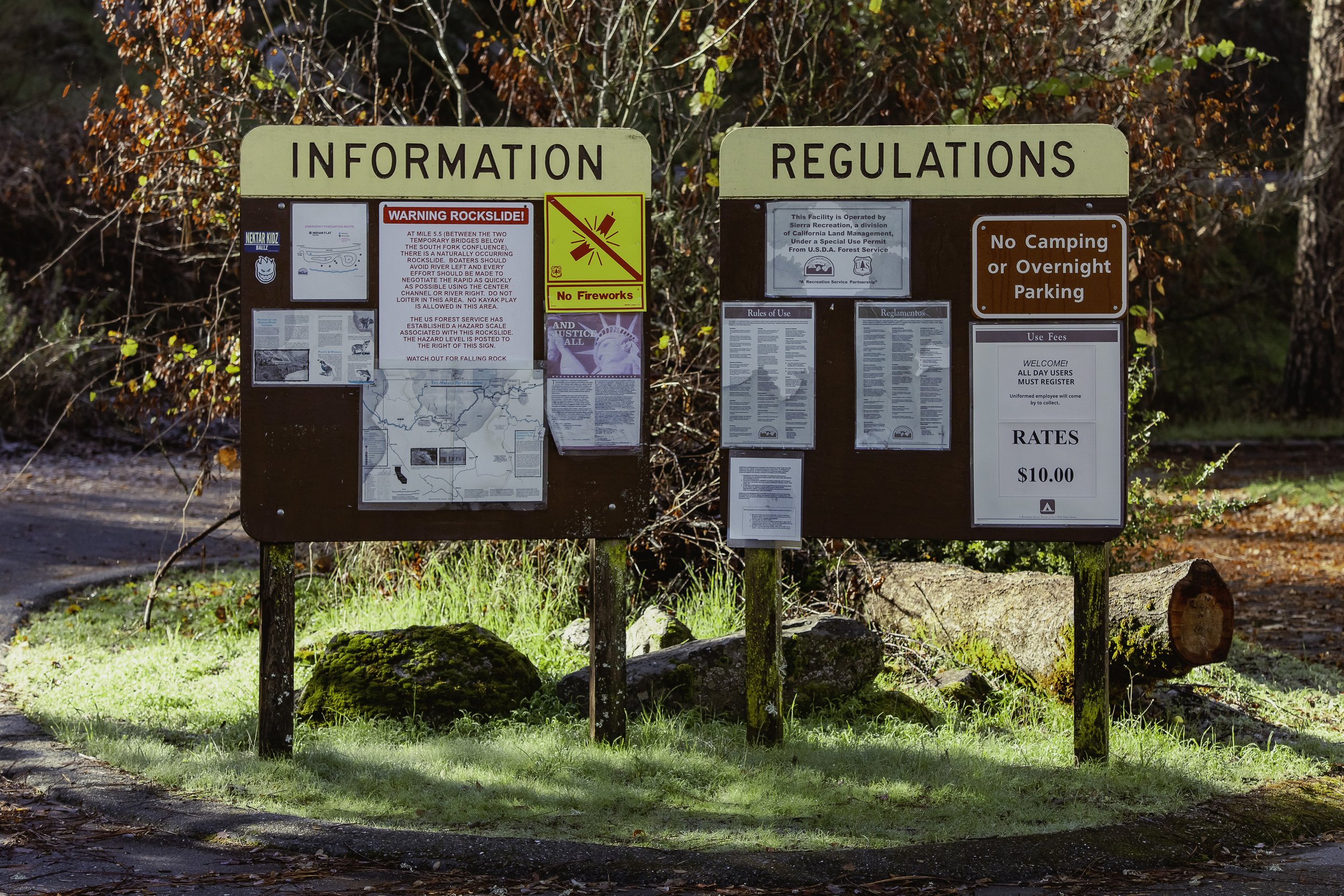
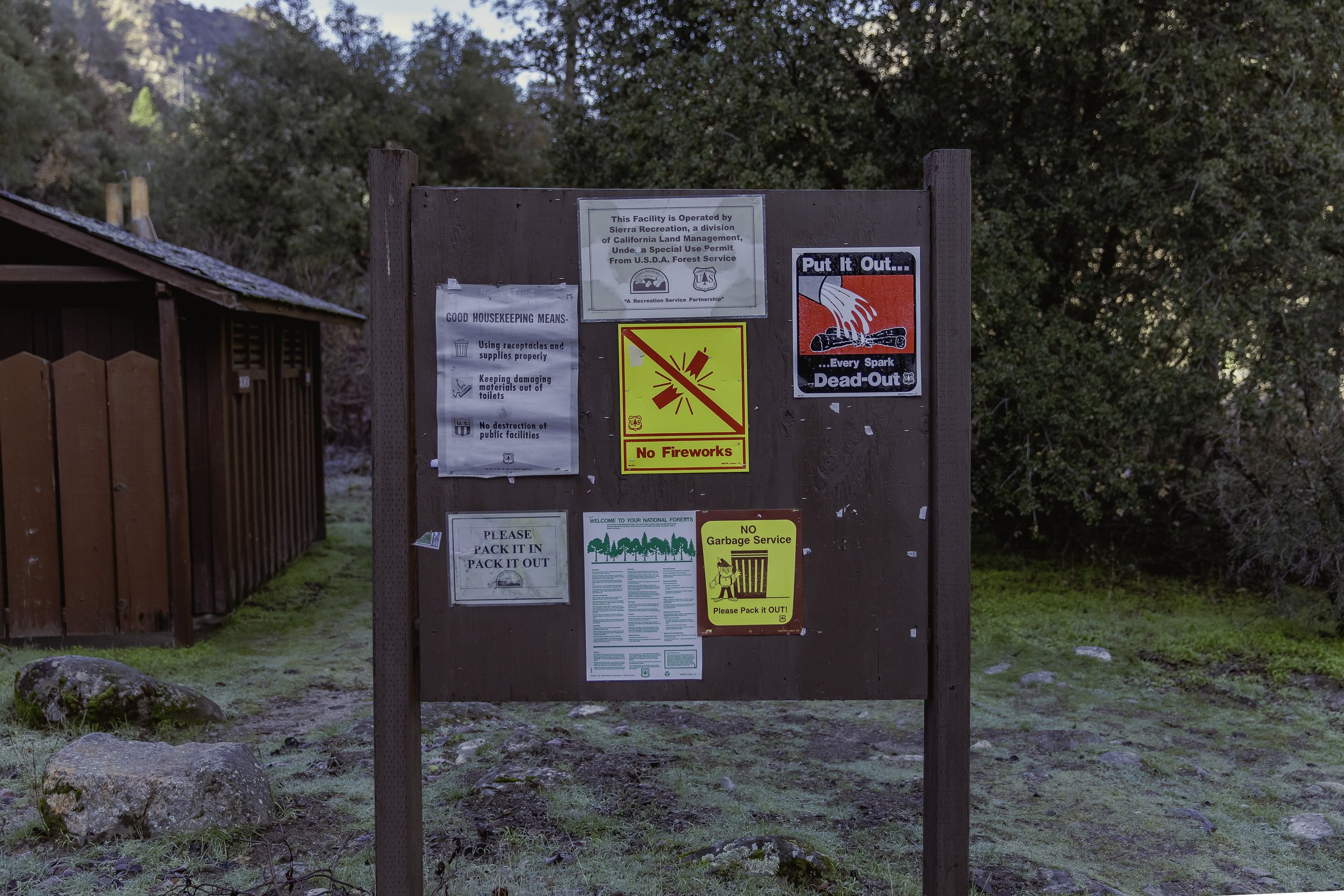
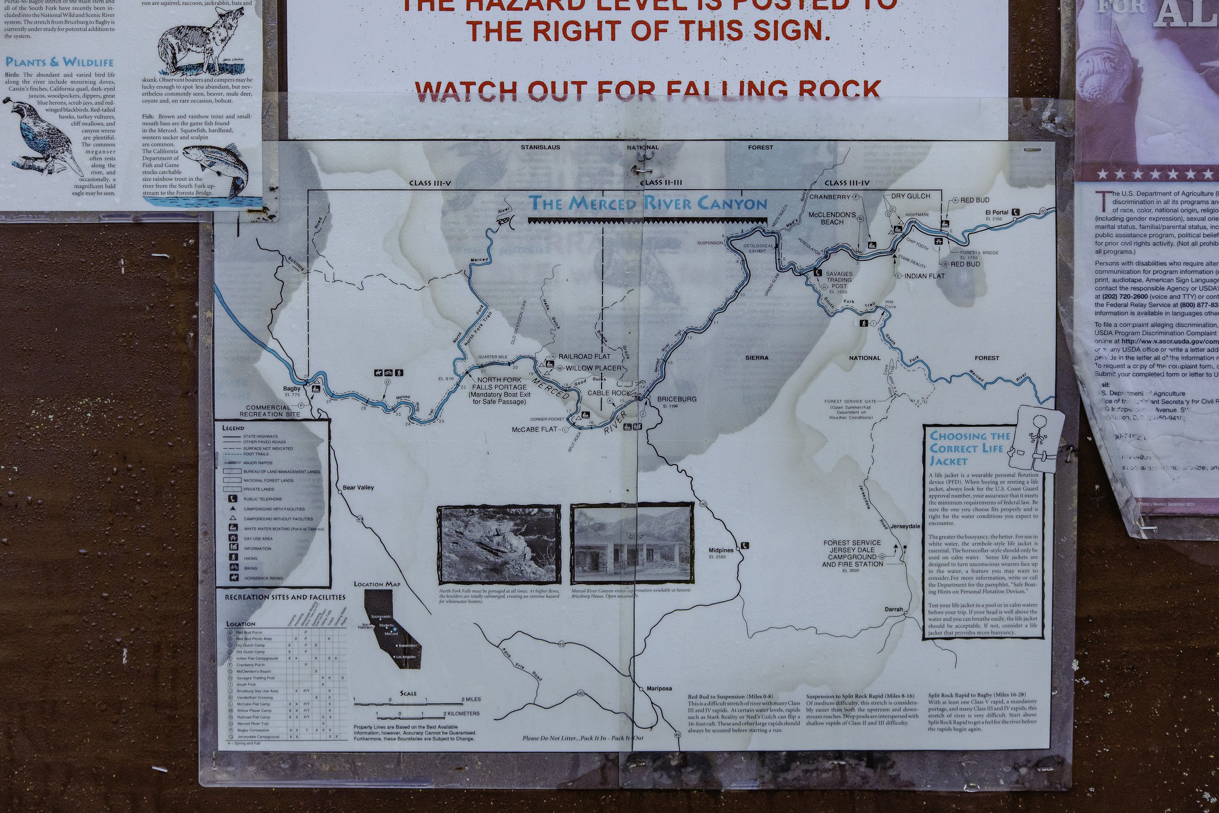
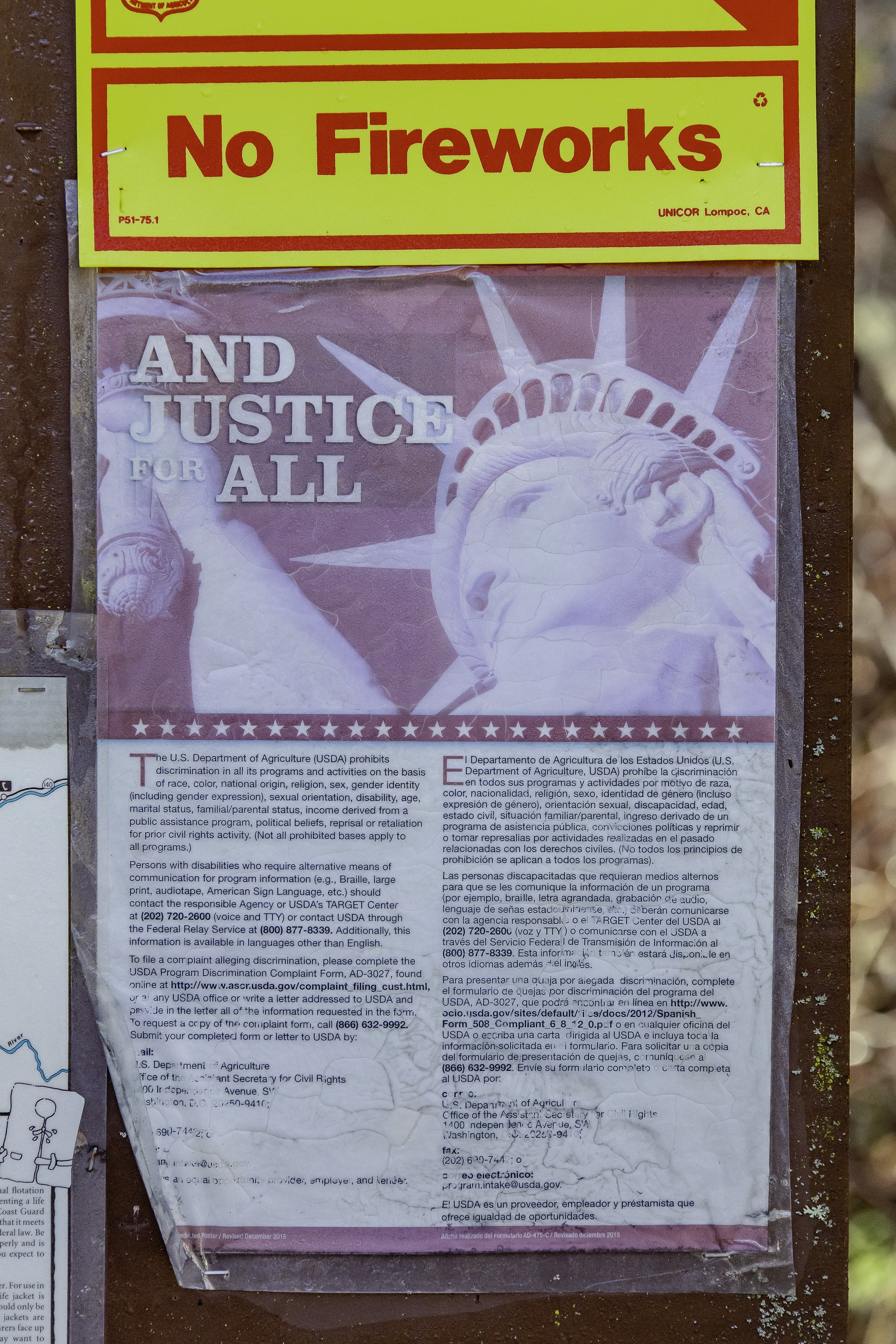
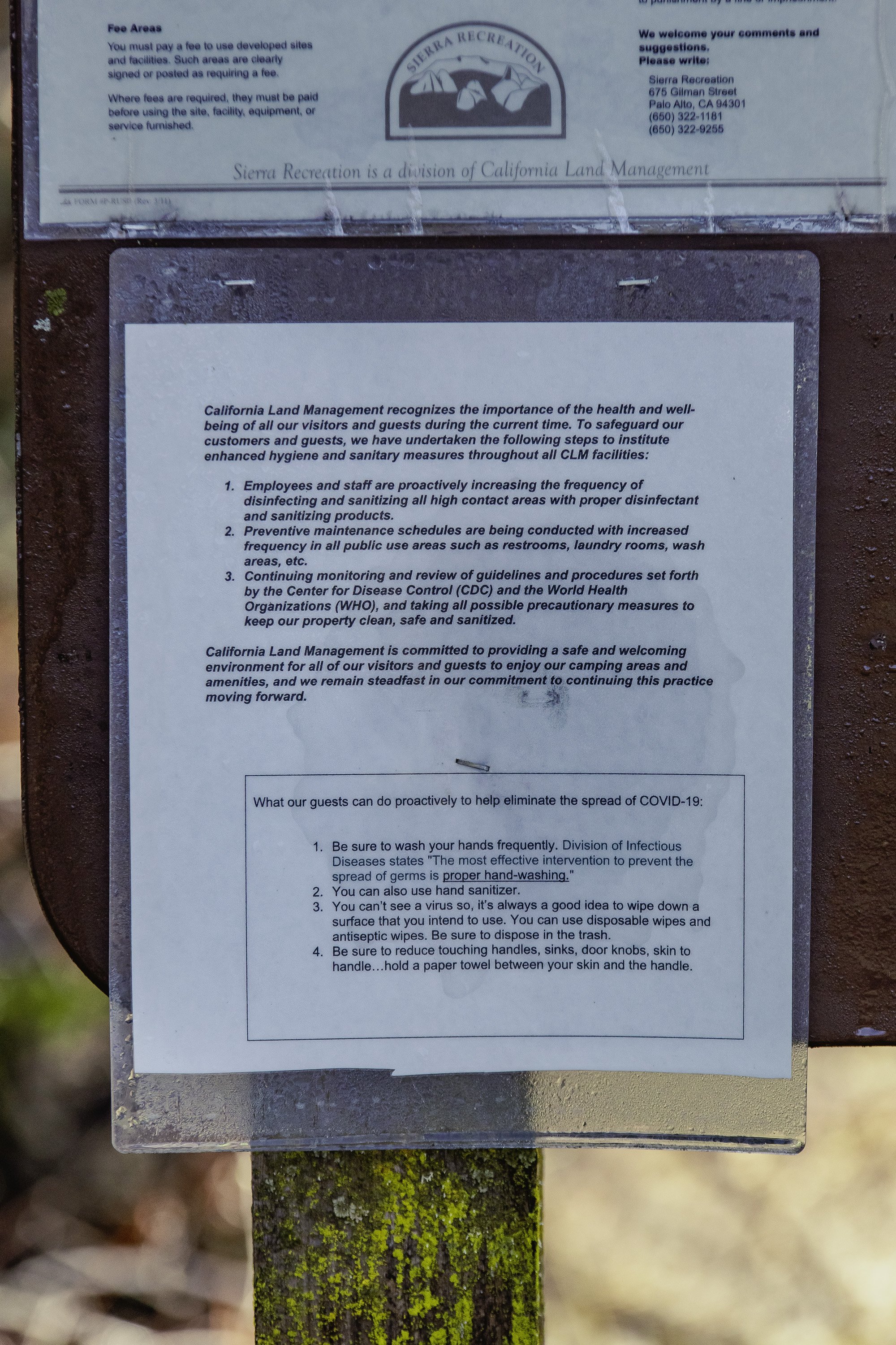
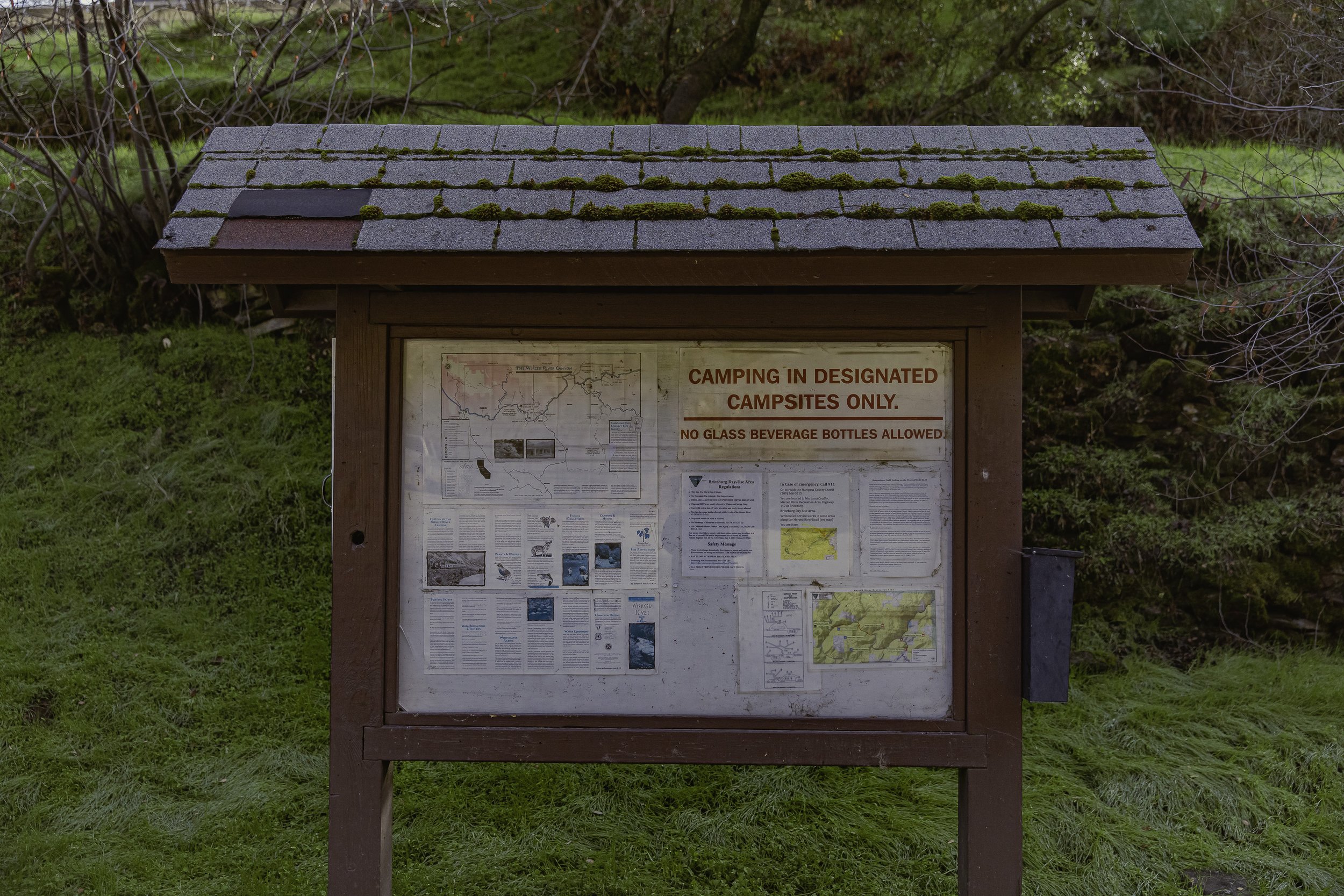
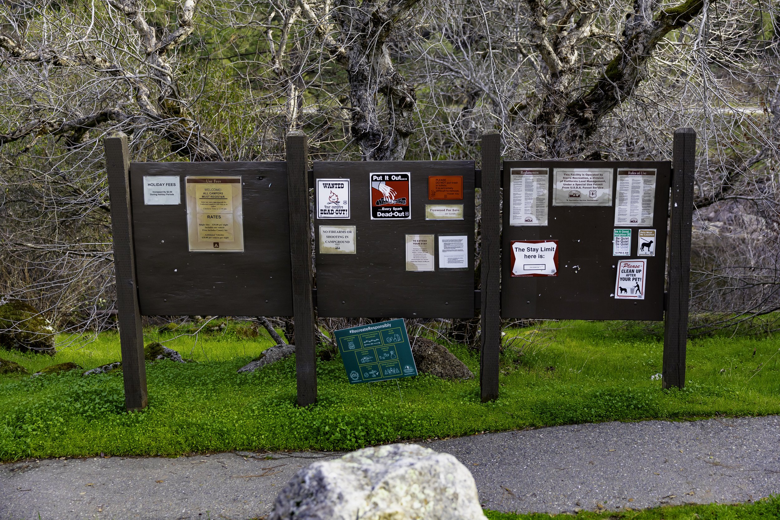
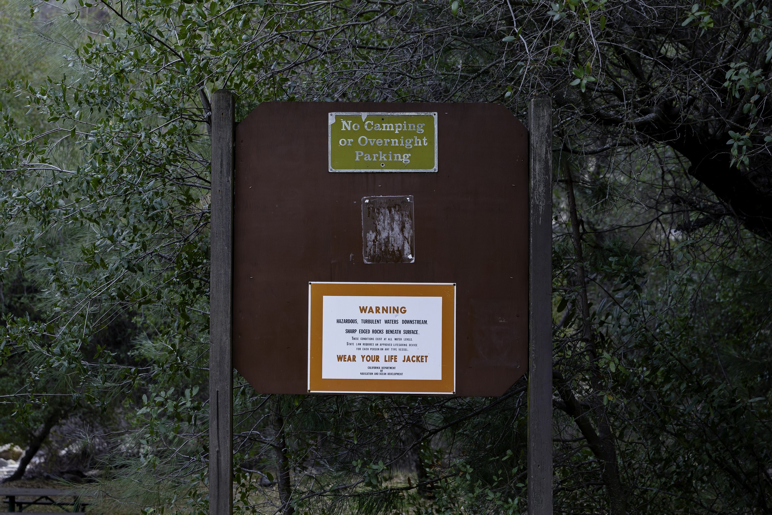
Besides basic roadside signage, there are twelve community boards roughly 4’x4’ at the various sites. These community boards have not been updated in some time with the exception of the emergency alerts regarding the algae bloom in the summer of 2021. Now that those signs have been removed the boards are mostly bare or have older signage that has started to deteriorate due to exposure.
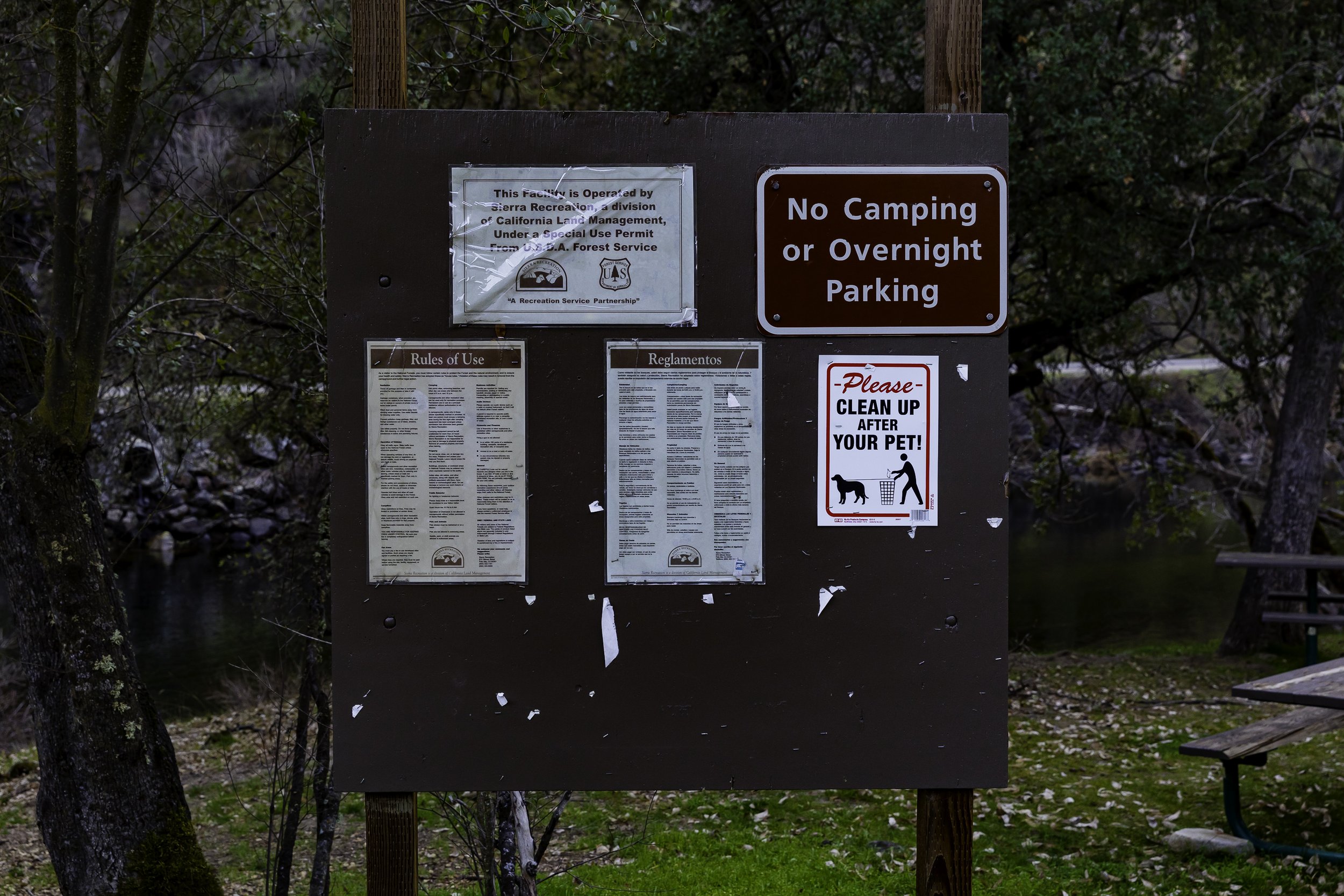
Community Input
For feedback and ground-truthing, our team contacted local recreation and stewardship voices like Ryan Kelly (Yosemite Conservancy), Latino Outdoors–Fresno, Bill King (Mariposa Trails), and established a working communication with the SNF Bass Lake Office. Over the fall and winter months, we also engaged in conversations with: Mariposa County Tourism Bureau, El Portal Planning Advisory Committee, Mariposa County Planning Department, Upper Merced River Watershed Council, Michael Martin (Director of Merced River Conservation Committee), Beth Pratt (California Regional Executive Director for National Wildlife Federation), Ralph Medershausen (local and historian), Art Baggett (local river advocate), and local BLM staff.
In addition to several field trips to the corridor with some of these partners, CalWild hosted a community phone conference in February 2022 and spoke at the El Portal Planning Advisory Committee Meeting twice, once in November 2021 to introduce our efforts in brief, and a second time in February 2022 to further engage with El Portal Community members. We also held an in-person event, Map Your Interest, which took place on March 13th in El Portal. The event as well as its accompanying digital promotions helped individuals understand how signage connects to improved landscape and watershed health (our promotions read “Signs are the beginning of stewardship”).
During the event, our project was validated by a current resident who lives and works in El Portal; they said there is a clear need to address who is getting turned away from the gates of YNP (non-English speakers) and what happens after (e.g., they recreate on the corridor without signage that helps facilitate responsible recreation and fire prevention).
Suggested Visitor Communication Needs
The information CalWild collected made it clear that four main topics needed to be better conveyed in the corridor’s signage, including:
Leave No Trace
Even in the low season of winter, we repeatedly saw bathrooms and beaches overcome with trash and human waste. Since traffic is exponentially higher in the high season, there is an obvious need to remind all visitors to “Pack it in, pack it out.” This message could be applied to not only the community information boards, but also at popular parking spots along the corridor.
Fire Prevention
According to the National Park Service, Nearly 85 percent of wildland fires in the United States are caused by humans. In recent memory, the corridor has experienced devastating wildfires like the Ferguson (2018) and Rim (2013) fires. Going as far back as 1908, the area has been prone to fires that travel up the river valley. With the ever increasing risk of wildfire, it is imperative that every visitor understands the risks of reckless behavior and the correct way to keep fires contained.
Human-caused fires result from campfires left unattended, the burning of debris, equipment use and malfunctions, negligently discarded cigarettes, and even intentional acts of arson. Our meetings with Forest Service (USFS) staff conveyed a very understaffed, underfunded, and overworked local office (and federal agency). This is clearly due to their limited resources being focused primarily on fuel reduction and wildfire prevention. It should be noted that USFS capacity to help with signage will be very limited if current conditions persists. Further, we found signs of multiple unauthorized fire rings, as pictured in the above lower left image at Indian Flat Day Use area.
Wildlife & Ecosystem
The corridor is an area of high biotic integrity and there is no shortage of ecological information to share, including resident flora and fauna, important ecosystems, watershed maps, and safety concerns. Consultation with local biologists, ecologists, and artists will be important to conveying this data. Some common species in the corridor include mule and white-tailed deer, Sierra Nevada red fox, mountain lion, Pacific fisher, coyote, California red-legged frog, peregrine falcon, Sierra mountain kingsnake, yellow-billed magpie, Sierra fence lizard, Steller’s jay, rainbow trout, and black bear. Endemic, rare, threatened, and endangered species like the golden eagle, Sierra Nevada yellow-legged frog, willow flycatcher, and spotted bat also make this their home. Hazards that should be pointed out and explained include poison oak, algae blooms, and what to do if you encounter animals like mountain lions and black bears.
Heritage
The Yosemite area has a long, rich heritage of people living in accordance with the land beyond the well-known history of European settlers. Mariposa County and Yosemite Valley are the traditional and ancestral lands of the Southern Sierra Miwuk Nation. The first white settlers to enter Yosemite Valley were led in 1851 by a gold-rush merchant named James Savage (see above sign). This was followed by the people-free preservation ideas pushed by John Muir to conserve the valley at which point the Miwuk went from being called “killers” to “tourist attraction.”
No really, click to read the sign.
In the 1960s the Park Service stopped allowing tribal members who were not employees to live in YNP. Miwuk practices of controlled burns are spoken about more in recent years by environmentalists and park staff – a window into their influential vantage to speak about holistic ecological health in California. The corridor’s day use areas even have remnants of their existence (such as grinding stones) that, with the right signage, could help new visitors understand the Miwuk’s place in the corridor’s history. Later, black men serving as Buffalo Soldiers were some of the first rangers of YNP, charged with evicting poachers and extinguishing fires. Often occupying lower economic classes, their positions of authority led to a delicate balance of enforcing laws with diplomacy. Ranging from European immigrants looking for a way to escape the wars and poverty of the 19th century, to the mistakes of the 20th, improved signs could shed a light on what is possible in the 21st century by working with all communities on how to better live in accordance with the Merced River. To learn more and support the Miwuk’s federal recognition, visit: www.southernsierramiwuknation.org
Looking Forward To Next Steps
Ideally, a coalition of community stakeholders can take our above findings and the following information to formulate a plan to improve signs along the corridor. The USFS, as a mandatory party to any such projects, is facing critical capacity issues. As of 2022, any new sign installations will be further delayed due to long federal and state permitting processes like the National Environmental Policy Act, California Environmental Quality Act, and coordination with CalTrans – along with the required archaeological and ecological surveys (overall a 5-8 year process by one estimate). However, by leveraging and improving upon the existing infrastructure, durable, accurate, and welcoming signage could be installed without any additional permits. This streamlined approach has the potential to positively impact visitor experience within 1-2 years. Additionally, the reservation system at YNP will begin again in May 2022, providing an opportunity to witness the effects of YNP visitor overflow and document who the visitors are in more detail.
Bilingual Signage : Example
Found in Golden, CO, these signs made for Jefferson County Open Space provide vital information for visitors whose primary language is either English or Spanish. Jefferson County is only 15% Hispanic or Latinx, which is only marginally higher than Mariposa County’s 12% Hispanic or Latinx community, and significantly lower than adjacent Madera County’s nearly 60% Hispanic or Latinx community according to 2020 Census data.
Recreation-centric Brand Support
Ranging from REI to Walmart, Merrell to Mountain Hardwear, or Osprey to JanSport, retailers, lifestyle brands, and outdoor gear companies have a vested interest in preserving, promoting, and protecting natural spaces. To better support their audiences, brands – especially those for climbers, hikers, kayakers, cyclists, and other outdoor enthusiasts –could invest in a program to support better stewardship, raise awareness about environmental impacts, and better prepare visitors through online campaigns in association with the nonprofits and community organizations already working to improve the corridor and the experience for all visitors. This could be done collectively with The Conservation Alliance or 1% For The Planet, or one-to-one with a like-minded brand with the right audience.
Brought To You By Cooperation
This report comes thanks to you by the connections made through our participation as members of both The Conservation Alliance and the 1% For The Planet network. Exact Change is a proud Group Member of The California Wilderness Coalition.


